 MAGNET Productivity Suite
 OEM Components & Technology
 Crop Sensing
 Water Conservation
 Ag Connectivity and Data Management
 Agricultural Machine Control
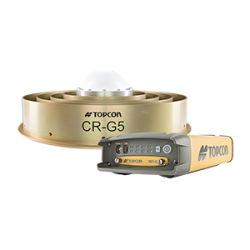
 GNSS Receivers for Agriculture
 Consoles and Displays for Ag
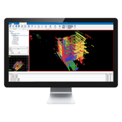
 Mass Data and Volume Collection
 Enterprise Services and Subscriptions
  Lasers, Levels & Theodolites
 Paving, Milling
 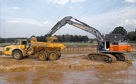 Excavating and
  Rough and Fine
  GNSS & Network Solutions
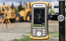 Field Controllers
 Software Solutions
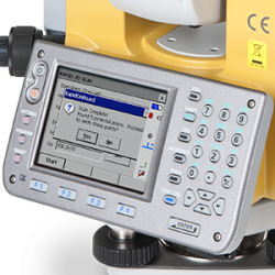
 Total Station Solutions
Software Solutions
Topcon makes your work flow.
You've got enough to do without
having to take orders from your software.
You've got enough to do without having to take orders from your software.
Giving you full control
Having the most advanced and technologically capable hardware is all well and good, but if you don't have fully integrated and intuitive software system to support and run it... then you won't have the intelligent systems that you need!

All of our software solutions have been designed specifically for the type of jobsite task that you are involved with. Whether you are carrying out asset management with our GIS field controllers or setting the grade whilst preparing the new highway, we have the software that will help you get the job done.
Your working day can be stressful enough without having to learn or remember your hardware's interface on a regular basis. Topcon office and field software solutions are designed to be intuitive and easy to use, so you can just get on with your tasks.
From simplified routines when importing industry-standard job files through rapid instrument connectivity to the use of the Cloud as your source for real-time up-to-date data, our software has the intelligence to ensure your working day is headache-free!
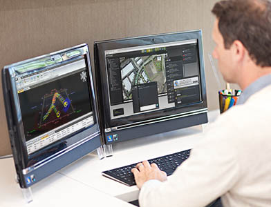
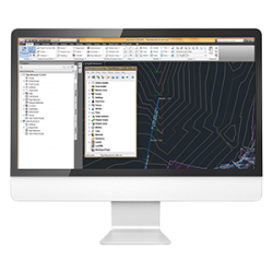
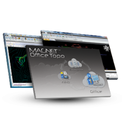
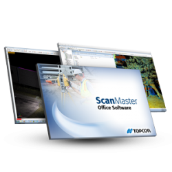
Office software solutions for a wide range of surveying, design, and construction applications.

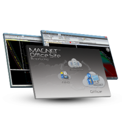
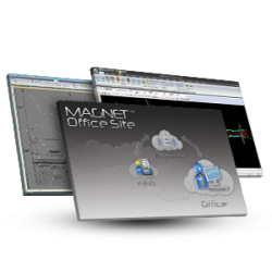
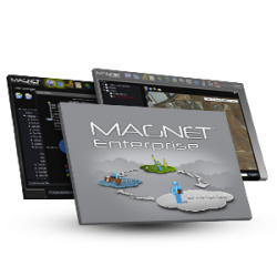
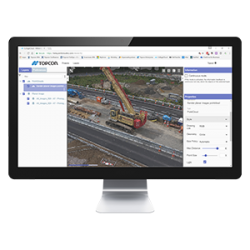
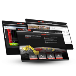
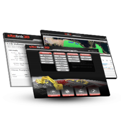
Your secure web service to oversee all your projects and control your time, data, and profitability like never before.
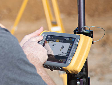
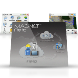
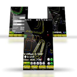
MAGNET Field data collection software is available in multiple variations for your project and budgetary needs.
The network infrastructure products employ state-of-the-art technology developed within Topcon
for antennas, ASIC chips, algorithms and more to deliver the most accurate and robust solution available.
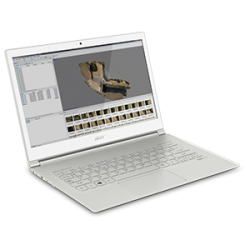
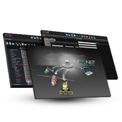
These specialized software tools optimize performance and results when processing
the complex and massive data sets created with our advanced Mass Data Collection solutions.
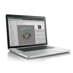

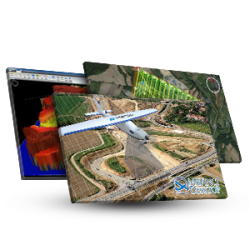
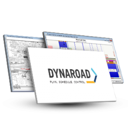
Topcon design and planning suites for the construction industry give you complete feature sets to bring raw data to the field, design with CAD tools, output 3D job files, and then plan and schedule the job based on you data and designs.

The Topcon MSP suite affords full flexibility, with on-board or controller-based field software,
and both an office package and a web-based interface.

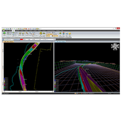
These tools tie your job together, to let you manage both common and specialized construction workflows through every job phase.
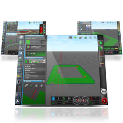
Construction field software from Topcon puts the power in your hands to get the job done. Every phase of the job is improved through the use of these tools, and the power they provide: to capture points, to layout, to calculate volumes, to collaborate with others.
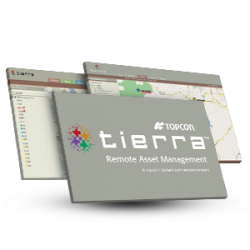
On-demand scalable access to applications, resources and services.
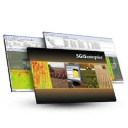
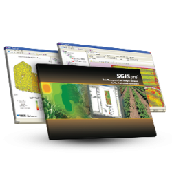
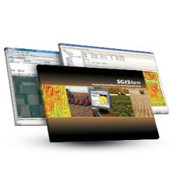
Our powerful and flexible software suite runs on the entire X Family of consoles, and drives the whole crop cycle of operations for your whole farm.

We've Got You Covered
Need more info?
We can email you additional product information. Your contact information will never be shared.
See it in action
Your local dealer can't wait to show you what we can do for your business.